Politics & Government
FACT SHEET: East Vincent Township Zoning Approval
Want the numbers to Wednesday night's zoning approval? Here's what you missed if you couldn't attend.


After an overlay to of the Jones Motor property at Route 724 and Bridge Street was approved on Wednesday night, the community that could not attend may want to know some facts and figures concerning the different numbers associated with the potential development that can now occur at the site. Patch has you covered! Below is a fact sheet that has been compiled with information from last night’s meeting.
Legalities of Wednesday Night’s Hearing
The public hearing for the ordinance Wednesday night was required by law.
The amendments to the zoning ordinance do a number of things, according to solicitor Stuart Cohen, Esq. First, they delete the current zoning (Industrial/Professional Office, or PO; General Industrial, or GI), as well as the Unified Development Option, which was meant to allow a veterans cemetery in the development, but was later shot down.
Find out what's happening in Limerick-Royersford-Spring Citywith free, real-time updates from Patch.
“In a sense, we’re not replacing it, but we’re adding a new, commercially-oriented use, which is being considered tonight,” Cohen said.
The amendment is in text, changing the zoning map. The commercial mixed use development [CMU] is being added as a conditional use.
Find out what's happening in Limerick-Royersford-Spring Citywith free, real-time updates from Patch.
Wednesday night’s meeting was a direct result of a series of meetings held to discuss and revise the ordinance. County and township planning commissions, as well as the Phoenixville Regional Planning Commission had all sent in comment on the ordinance shortly before advertisement of a public hearing was made.
There are copies of the ordinance that are available to the public at the Pottstown Mercury and the Chester County Public Library. Cohen also broke down the actual process that takes place after Wednesday night.
“Tonight is the first phase of a process,” said Cohen. “If the board approves the amendments allowing this new type of use, anyone who wanted to take advantage of the use [a developer], would have to go through conditional use proceedings, which are hearings before this board with a court reporter, making a record and residents come out and participate to make a position there.
“Maybe most importantly, it requires a master plan be submitted under this zoning and that the township or board of supervisors approve the plan.”
The next step after a master plan goes through is a land development plan by the developer, showing how he/she subdivides the lots.
History of the Property
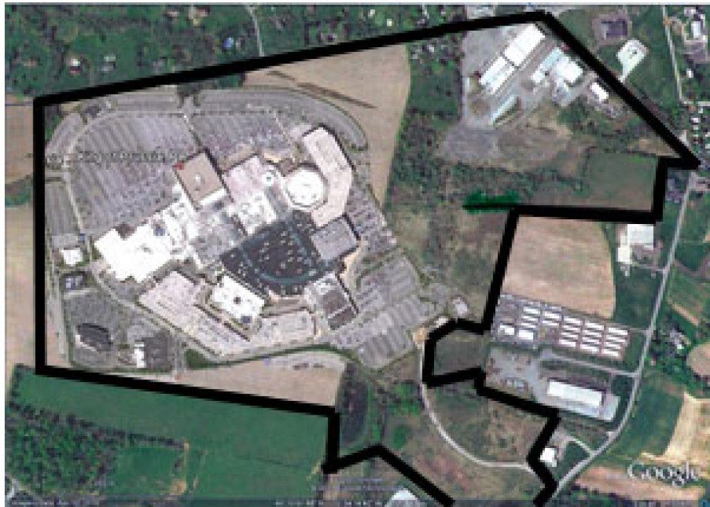
Jones Motor, owned by James Koegel, takes up about 200 acres of land on the corner of Schuylkill Road and Mennonite Church Road, including the East Vincent Business Park, which is essentially undeveloped.
“For years, since 1949, we have owned and either operated ourselves or had other operate for us, trucking operation at the corner across from the Wawa,” Koegel said.
“A number of years ago” according to Koegel, a tenant moved on to a different location. Since then, the property has been vacant.
“There’s a lot of reasons,” said Koegel. “Many of them driven by the economy and because we’re a different kind of trucking company. In any event, for whatever reason, the terminal remains vacant and is a wasting aspect. We pay a fortune in taxes. My shareholders would be very distraught if we can’t do something to maximize the value of either the property or the building.”
Jones Motor considered a number of things, including renovating the building, which was abused “egregiously” by the previous tenant, and then renting or selling as a warehouse. After spending about $40,000 on renovations, the company couldn’t spark any interest.
They then examined alternative uses for the property, such as public utility, mass transit station, contractor’s yard, junk yard, trash transfer or sanitary landfill, just to name a few.
“Those last few uses, in my view, are less desirable than what we would like to see with that property,” Koegel said. “However, because there are few places that can find that kind of permitted use, it would probably have significant value to be used as such.”
Those uses are all permitted, along with wholesale businesses, garden centers and manufacturing.
The final alternative was what was voted on and approved at the meeting.
In December 2010, the township received a petition for revising the ordinance by Jones Motor and the rest is history.
Professional planner Dennis Glackin, based in Paoli, was hired by Jones Motor last year.
What Glackin Had To Say
Glackin added the uses that could be placed on the property under the now former zoning (PO-GI), including laboratories, hospitals, storage plants, motel/hotels, lumber yards, etc. Up to about 35 different uses could have been employed under the old ordinance, some only conditionally.
“One of the key aspects of any ordinance is how the density is regulated,” Glackin said. “In residential developments, it’s usually regulated by lot size. In non-residential developments, there’s several ways of doing it – probably most common is impervious coverage. This is the land that gets covered by the buildings – driveways, parking, sidewalks, etc. An ordinance will set limits on how much of the land can get covered and that will determine the intensity of use.”
The former zoning allowed for 40-percent impervious coverage, or paving.
“One of the things I noticed when I became involved in this, is if you look at the zoning around the property, it’s almost all residential,” said Glackin. “Having those residential uses next to an industrial and professional office district is not unprecedented, but it’s a little unusual. Usually there’s a little bit of transition. A lot of the uses I read are not particularly compatible with these residential zones.”
Glackin said his professionals were trying to create something that had some human scale, something that was not a warehouse or a trucking terminal and not a one-dimensional development.
There is a 135,000 square-foot limit on the maximum size of a store. There are also limits on the expansion of a center. Adding on to the approved plan would require a developer to start his plans all over again.
There are some wetlands on the property, as well as wooded areas. Demonstration of protection must be shown in the master plan for approval to be made on any type of development. With the mix of uses in the new ordinance, a developer can’t build all one type of unit (ie. All apartments, all houses, all town houses).
There is also a town center component, where a piece of the property must have a town center layout, with retail uses, street parking, parking in the back, walkways, etc.
“The idea behind that was to create a walkable community to be a part of the residential neighborhoods so the residents could walk there,” Glackin said.
The township has had a Transfer of Development Rights [TDR] program for a number of years and owns a good number of them, according to vice chair Mark Denphy.
One-half of the site will have impervious coverage under the new ordinance, meaning half of it cannot be paved or built upon. Overall, 78 acres is all that can be built upon and paved.
That Brings Us to Ray Ott, Local Land Planner
Ray Ott, who is employed by the board to study and plan these types of situations, also gave a presentation at the meeting. Overall, the townspeople were extremely concerned with his studies, as many of them come according to census reports and studies done in 2006 and 2007, as opposed to 2010.
Aside from what had already been mentioned, Ott made reference to the amount of residential development that could be done on the property if the CMU was attained. According to his data, it would hone a potential 4.75 dwelling units (homes) per acre of land.
Along with that, building height regulations would change. In the former ordinance, building height could only be two stories (35 feet), or 50 feet with TDRs. In the new ordinances, they can now be four stories (50 feet) and 60 feet with TDRs. There was no potential for open space in the previous ordinance. In the new ordinance, there can be up to 15-percent.
The average amount of dwelling units that will be placed on the property is 373, with an average residential unit value of $350,790. The total residential value of the lot would become $130,844,670.
As for office and commercial space, the lot saw its biggest potential as a PO, generating 827,137 square-feet of floor area at $163 per square-foot. The grand total value was $134,823,331. As a GI, it had a floor area of 439,560, valued at the same rate, it generated $71,648,280 in commercial value.
Under the new ordinance, it has 468,040 square-feet of floor space at $163 per square-foot. The total value, commercially, comes to $79,224,520 for a grand total of $210,069,190.
In Ott’s demographics, there were 3,309 employees potentially occupying the space as a PO-zoned district and 1,758 employees as a GI. Under the new ordinance, potentially 1,944 employees would occupy the space along with about 822 residents. There would be 84 school-aged residents included in that number. The total occupancy is estimated at 2,766 for the new ordinance, whereas the former ordinance had potential for 5,067 according to Ott’s estimations.
What is a TDR?
“If you don’t want development to occur in the green areas and prefer it to occur in the orange and yellow areas, and you don’t want to just devalue the property of all of the people who live in the green areas, the TDR is a mechanism to allow that property owner to be compensated,” Ott said.
A TDR would effectively allow the holder to sell the TDR to someone in the yellow or orange areas. For every development right someone buys, they are allowed to increase the density.
In non-residential developments, if a TDR is transferred in, it simply allows an increase in impervious coverage.
“It enables the township to finance the open land in the township,” Ott said.
Traffic
There have been no studies conducted to date on how traffic flow would change as a direct result of the development of the property. Supervisors insisted that the traffic analysis would have to be done as a part of the planning and master planning phases of development and were not required up to this point.
Still To Come
Patch will detail where Spring City comes into play here and will detail further concerns from the community. Stay tuned!
Get more local news delivered straight to your inbox. Sign up for free Patch newsletters and alerts.